September 24th, 2016 -- Capitol Reef, Utah Escaped for a much needed weekend in the outdoors with my best friend to enjoy one of the "Mighty Five" National Parks in my backyard.
"Orientation/observation" was our first car break and we were reward with panoramic views.
After a quick photo op we were off to the super short hike to the Goosenecks where you can see the bend in the river. You realize you are maybe 1/5 of the depth of the Grand Canyon which is incredible.
The visitor center was packed as it was a free day in the National Park. The visitor center itself has an awesome topographical display of the NP and film of the area.
Driving into the park we had a short picnic after purchasing a personal peach pie and just took in the sites before our ambitious hike to Cassidy Arch.
The trailheads for both Cassidy Arch (1.5 miles each direction) and the Narrows. After a couple of wild days of rain the road to the trailhead was washed out so we had to hike to the trailhead (1.3 miles).
On the way to the trailhead the scenary is amazing and if you look carefully you can see the barred uranium mines that are now just a ghost of forgotten central Utah enterprise.
Cassidy Arch is named after the infamous Butch Cassidy and the Sundance Kid as the canyon itself was said to be a frequent hideout for the outlaws.
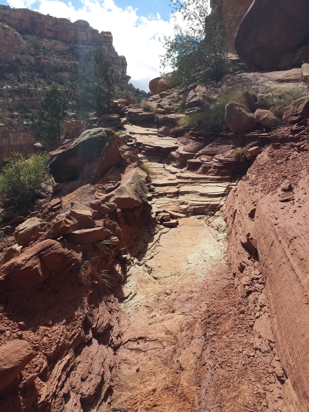
The trail begins with a strenuous hike that climbs nearly 1500 feet and gives sweeping views of the canyon, the cliffs and Capitol Dome in the distance.
Of course just being in Capitol Reef you are reminded that time spans far beyond the native americans, outlaws and miners - here centuries have left their mark and we were just fortunate to enjoy the present with very few on this trail.
At the end of an arduous hike we were rewarded with a massive arch that seemed like our own personal reward. The drops were intense and my 'fear' of heights had me just a bit breathless.
The hike back was just as beautiful as the original destination.
Soon we were back in the U-Pick 'Em orchards gorging ourselves with apples and pears.
On the way to Hickman Bridge we stopped at a small one-room school house.
Hickman Bridge starts below 500 feet of shear cliff where you asked to keep moving while hugging the small river below.
Unlike the red views of Cassidy Arch, Hickman is surrounded by white sandstone which is a different beauty of it's own.
The bridge itself has an incredible expanse and is fantastic.
The trail to the bridge loops past sweeping vistas and that make for an incredible panorama.
Exploring the history, the views and the wildlife make Capitol Reef and awesome twisted travel, the park is simply breathtaking and I can't wait to go back!