Monday, May 31, 2010

Carlsbad Caverns

 May 31, 2010 --


Sitting Bull Falls

May 31, 2010 -- Sitting Bull Falls Recreation Area is an incredible lush oasis amid the driest and desolate of places in Southeast corner of New Mexico. Imagine a 150-foot waterfall cascading down to natural pools hidden amid the formidable canyons of the Guadalupe Mountains. 
After a long drive in solitude you arrive at a picnic site erected by the Civil Conservation Corp in the 1930's and ascend up a short trail to the overlook.
For our visit we seemingly had the hole area to ourselves and took advantage of the cool pools by soaking ourselves and swimming escaping the heat of the day.
SBF's has caves behind the falls which are off limits unless you have previously arranged to explore them with a guide.
In all this is one of the magical places you need to see to believe, but a wonderful place to escape the heat of the day.


Directions to the Sitting Bull Falls Recreation Area from Carlsbad: head 12 miles north on Highway 285, then take Highway 137 southwest for 23 miles to Forest Road 276 / County Road 409, follow this road for 7 miles to the falls.

Sunday, May 30, 2010

Lincoln State Monument

June 11, 2012 -- Lincoln State Monument is a community frozen in time. This state monument had its heydays between the 1870’s and the 1880’s. The town which now consists of a couple of musuems is built in the traditional Territorial Style of adoble architecture and history seems to be in every wall… literally.
According to the official state website, “Lincoln is a town made famous by one of the most violent periods in New Mexico history. Today's visitors can see the Old Lincoln County Courthouse with museum exhibits that recount the details of the Lincoln County War and the historic use of the "House" as store, residence, Masonic Lodge, courthouse, and jail. Walk in the footsteps of Billy the Kid, Pat Garrett, and other famous and infamous characters of the Wild West.”


Saturday, May 22, 2010

Taos Pueblo

May 22, 2010 -- Taos Pueblo, or "the place of the red willows", like Acoma Pueblo is considered one of the oldest continuously inhabited communities in the United States.
Tracing their history through oral tradition to the beginnings of time, and speaking the Tiwa language, the Taos puebloan people are generous to allow visitors a glimpse of their culture.
Most archeologists believe that the Taos people as with other puebloans migrated from the Four Corners area.  According to wikipedia, "The history of Taos Pueblo includes the plotting of the Pueblo Revolt in 1680, a siege by U.S. forces in 1847, and the return by President Nixon in 1970 of the Pueblo's 48,000 acres (194 km²) of mountain land taken by President Theodore Roosevelt and designated as the Carson National Forest early in the twentieth century".

Today the San Geronimo Church is the only building with European influence in the village, and while nearly 3/4 of the Taos population share in some of the Catholic practices, native rituals and religion continue to permeate the traditional culture in sacred kivas not open to the public.
With the Red Willow Creek running through the heart of the village and the San de Cristo Mountains looming to the east Taos Pueblo has an unusual and welcomed tranquility even amid all it's visitors.

Black Mesa Petroglyphs

May 22, 2010 -- Wish I could post more about this awesome experience, but I signed a waiver that I wouldn't publish any of the details of a recent excursion to see some incredible petroglyphs on some private property being established as a Petroglyph Preserve.

Suffice it to say that the area is along the Black Mesa north of Espanola, NM and adjacent to the Rio Grande. Below are pictures of the area in general off the actual private land and a few photographs of panels not on the actual preserve but adjacent and visible from the to the road. Sometimes it's good to keep secrets.

Friday, May 21, 2010

Tsankawi, Bandelier National Monument

May 21, 2010 -- Tsankawi has to be one of my favorite hikes. Located almost 12 miles from the main section of Bandelier National Monument, this short 1.5 mile hike takes you atop a impressive mesa where you can explore the steps of the ancients, see petroglyphs, find shade in the cavates and tread lightly across the Ancestral Pueblo village of Tsankawi.
Tsankawi is a place you most easily miss because you almost have to know its there or you will pass right by it. Similarly, the region about this impressive hike is full of petroglyphs that are easily missed by the casual observer. In the picture below, taken from a pull out just a mile or two from Twankawi we spotted three different and large spirals etched in the rock, can you see one of  them?
Beginning our hike we picked up a small guide book from the check-in kiosk (for $.50 it was well worth it). Then it was onto the ascend up the mesa. One can easily get off the trail itself until the footprints and weathered trail make themselves quite evident.
Atop the mesa the village of Tsankawi is now nothing more than rubble. Authorities have diliberatlely choosen not to excavate the site but if you are attentive you can find pottery shards left by those long past (as always please take only pictures, leave only footprints and respect trails).
There are a couple of ladders the NP service have installed that grant access to the north side of the mesa where there are seemingly hundreds of cavetes where people lived and built structures. The landscape is completely enjoyable to explore and we took advantage of having the hike all to ourselves.

Jemez Mountains and Jemez State Monument

May 21, 2010 -- Missing an opportunity to explore the Jemez Mountains would certainly be a travesty while in New Mexico. Last weekend my wife and I took the time to immerse ourselves in a truly wonderful exploration of this amazing land.
First stop, Jemez State Monument. The historic complex was once home to a large 14th century pueblo village (Giusewa), whose descendants are the present day Jemez (walatowa) Pueblo.

Later the Spanish would erect an imposing 17th Century Spanish Mission as they expanded their influence and culture on the region.
Following a self guided interpretive trail we walked the foothills of San Diego Canyon and reflected on the lives that gave this place meaning.
Our next stop was the roadside natural attraction of Soda Dam. The 300-foot-long natural dam was created by mineral deposits from a hot spring.

Further up SR4, we found the trail-head to the secluded Spence Hot Springs on the steep hillside of an unassuming mountain in the Santa Fe National Forest.
After a short hike we were rewarded with a natural hot spring with incredible views.
 I nearly poked a mountain toad as I put my hand into this hand hold getting into the pools.
The soak was perfect as the pools lay in the shade even on a temperate late spring day.
After our dip it was further into the forest and a brief hike to Jemez Falls. Approximately 100 feet high, Jemez Falls is the largest waterfall in the Jemez Mountains and an easy mile hike.
Soon we were back in the car for a short ride to one of the many Valles Caldera National Preserve overlooks. This giant caldera is one of the largest volcanic calderas in the world and recent studies suggest the area may be gearing up for another impressive volcanic eruption (hopefully, this is quite a ways off!)
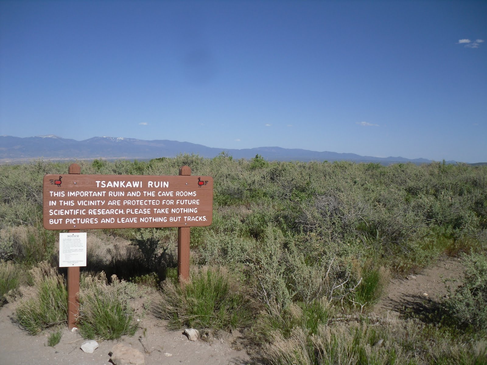
Bandelier National Monument was our next major destination and having explored the monument on my own previously, I was really excited to share one of my favorite parks with my wife. Certainly, the Jemez Mountains were a wonderful place to explore and experience, and our only regret was not having the time to discover more of her mysteries.