November 25th, 2009-- The Salinas Pueblo Missions National Monument consists of three incredible pueblo site complexs spread across the Salinas valley in central New Mexico.
Our first stop was
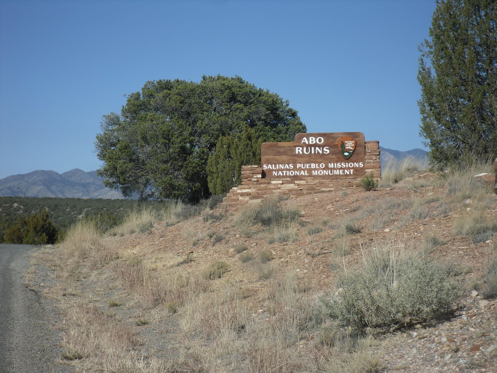
Abo.
Described as a thriving community with the Spaniards first made it to the Salinas Valley in 1582, the people of Abo had a long tradition of trade with those of the Acoma-Zuni region. Soon the Franciscans would seek to convert the indigenous people to Christianity by building a formidable and sophisticated buttressed church in the heart of the pueblo. However, in the 1670's the pueblo and mission lay desolate and abandoned as those who for so long called this place home retreated to the Rio Grande valleys for protection only never to return.
Today, Abo is a simple and quite place off the beaten path where rubble mounds hide the evidence of pueblo daily life and the three story ruins of the church stands picturesque as if clinging to a former glory.
My "travel" buddy simply loved collecting rocks while the empty doorways of buildings still standing seemed to call me in...We spent nearly an hour at this site and then we were off to the largest of the Salinas pueblos- Gran Quivira.
After refueling, stocking up on all the roadtrip food, and taking a picture of the historic Shaffer Hotel in Mountainarre, NM (an ecletic hotel in it's prime, reflecting the spirit of the Anasazi through the iconic decorations which had more pure meaning than those stolen and corrupted by Nazi Germany) we were off headed down the lonely state highway 25 to Gran Quivira (also known as "Las Humanas").
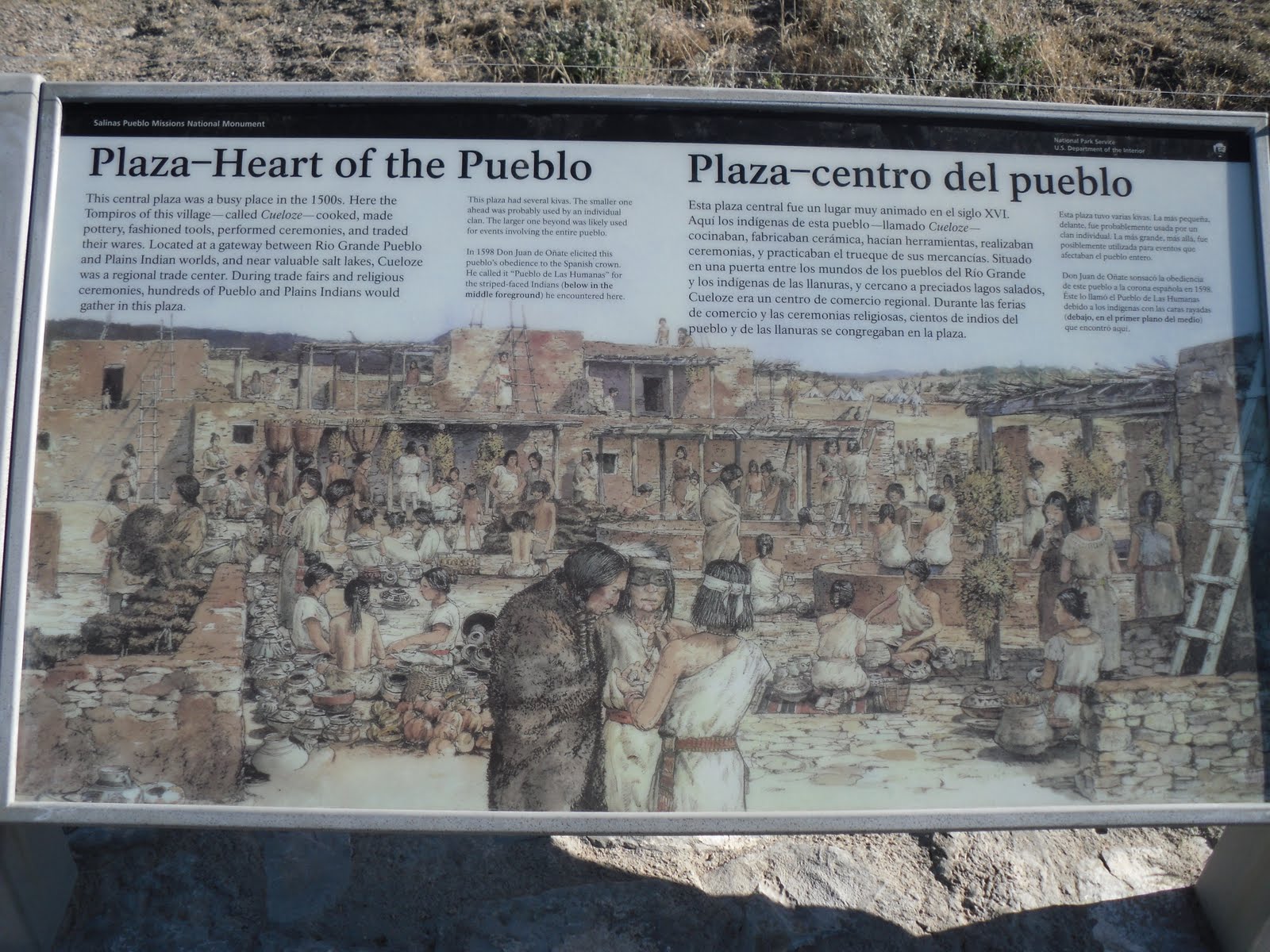
Gran Quivira has a small visitors center with some impressive exhibits on the pottery of the pueblo. Once an important and lively community now the pueblo and remains of two churches lay in ruin atop a the hills overlooking vast area. Strikingly different about the site is the absence of red clay and mortar, instead the pueblo and churches are built in a beautiful white limestone that is reminiscent of a scene in the Yucatan or Caribbean.
For years this was the site of cultures clashing and mixing. Native traditions blended with Spanish rule under the guise of Christianity. At times such merging of culture came peacefully, at times through force. Obvious are the kivas within steps of the churches, and then there is also evidence of underground hidden kivas.
Getting late in the afternoon and with one more of the Salinas Mission Pueblos to see before dusk we left Gran Quivira and headed to Quarai.
Quarai, sits outside of the small soon to be extinct town of Punta de Agua. With old cars and whethered buildings the town looks as if progress has forgotten this small little community.
West of the town the National Park Service protects Quarai. Like Ago and Gran Quivira, Quarai was "a thriving pueblo when Onate first apprached it in 1598 to accept its oath of allegiance to Spain" (NPS brochure).
Today the site is home to the best preserved churches of the Salinas Mission Pueblos.
Reaching the site before dusk the windows framed the moon and golden light gave an illuminating glow to the red-walled fortress.
Our adventure to the Salinas Mission Pueblos took the better part of the day but images of civilization long vanished will continue to feed the imagination.
For more information on the Salinas Mission Pueblo National Monument visit the National Park Service site
here.